
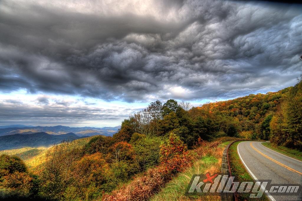
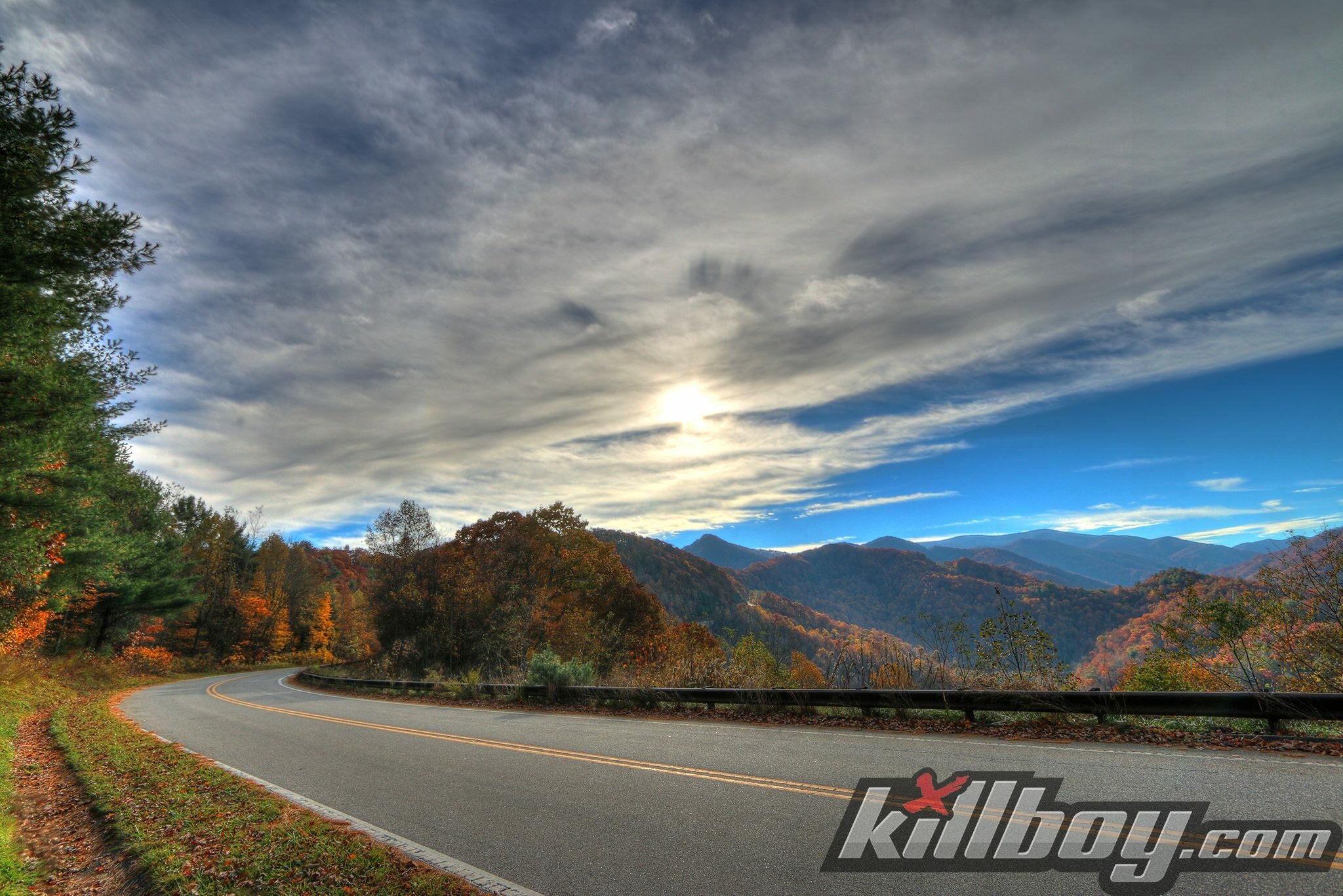
The Cherohala Skyway
The Cherohala Skyway is a 43-mile (69 km) National Scenic Byway and National Forest Scenic Byway that connects Tellico Plains, Tennessee, to Robbinsville, North Carolina in the southeastern United States. Its name is a portmanteau of Cherokee and Nantahala, the two national forests through which it passes. Along with multiple vistas and overlooks, the skyway provides easy vehicular access to various protected and recreational areas of the Unicoi Mountains, including the Citico Creek Wilderness, the Bald River Gorge Wilderness, and the remote interior of the Joyce Kilmer Memorial Forest.
Planning for the Cherohala Skyway began in 1958 and the road was completed on October 12, 1996 at a final cost of one hundred million dollars. The western (or Tennessee) half of the skyway follows Tennessee State Route 165 for nearly 25 miles (40 km) from Tellico Plains to the state line at Stratton Gap. The eastern (or North Carolina) half follows North Carolina Highway 143 for just over 18 miles (29 km) from Stratton Gap to Robbinsville. The skyway gains over 4,000 feet (1,200 m) in elevation, rising from a low point of just under 900 feet (270 m) at Tellico Plains to a high point of just over 5,400 feet (1,600 m) on the slopes of Haw Knob near the Tennessee-North Carolina state line. The North Carolina half of the skyway terminates near the south shore of Lake Santeetlah.


Photos courtesy of Killboy.com and Timothy Doug Leach.